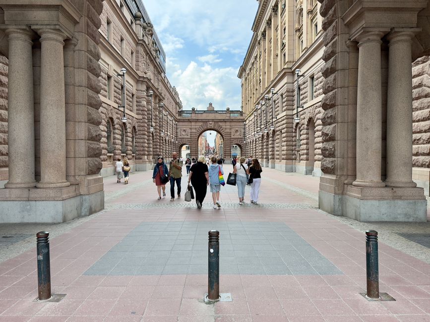
Walking Stockholm: where the city's geography does the work
Stockholm is essentially a city of islands, and walking between them means crossing water constantly — sometimes over grand stone bridges, sometimes on narrow spans between districts that feel like entirely different worlds. You don't need a map to feel the logic of it. Walk in almost any direction from the centre and you'll cross water within minutes.
The city is compact enough that several major districts connect naturally on foot, and the flat waterfront paths make long walks easy going. English is widely spoken, cards are accepted everywhere, and roads are well signed. Stockholm rewards slow walking more than most capitals.
Gamla Stan: the obvious starting point, for good reason
Gamla Stan, Stockholm's medieval Old Town, sits on its own island and takes around an hour to cross properly on foot — longer if you stop, which you will. Start at Stortorget, the oldest square in the city, surrounded by colourful merchant houses dating to the 17th century. From there, the lanes run in every direction, many of them too narrow for cars.
The Royal Palace sits at the northern tip of the island — with over 600 rooms, it is the official residence of the Swedish monarch, and the changing of the guard is worth timing your walk around. Cross the bridge north and you reach the main city grid. Cross south and you arrive on Södermalm.
Södermalm and Monteliusvägen
Södermalm rises sharply from the water, and the clifftop walkway at Monteliusvägen is one of the city's great free viewpoints. The path runs along the northern edge of the island with an unobstructed view back over Gamla Stan, the waterways and the City Hall (Stadshuset) — where the Nobel Prize banquet is held each December. It's a short walk but a slow one; most people stop several times.
Fotografiska, the photography and visual arts museum, is also on Södermalm and fits naturally into a walk along the eastern waterfront of the island. The area has a relaxed, informal character quite different from the elegance of Östermalm across the water.
Djurgården: the green route
Djurgården is Stockholm's island parkland east of the centre, and it's the most obviously walkable destination in the city. Large areas are car-free or very quiet, with paths through open green space connecting a cluster of major attractions.
- Vasa Museum — houses the 17th-century warship Vasa, which sank on its maiden voyage in 1628, was salvaged in 1961, and measures 69 metres in length.
- ABBA The Museum — also on Djurgården, a short walk from the Vasa Museum.
- Skansen — the world's first open-air museum, opened in 1891, sits at the far end of the island and takes at least two hours to explore properly.
- Gröna Lund — Sweden's oldest amusement park, opened in 1883, is at the island's western edge near the ferry stop.
You can reach Djurgården on foot from Östermalm, or take the Djurgårdslinjen ferry from central Stockholm, which runs frequently in summer. Walking the length of the island and back takes a full day if you visit the museums along the way.
Östermalm and Strandvågen
For a quieter walk with less tourist traffic, the waterfront boulevard Strandvågen in Östermalm is one of Stockholm's finest stretches of pavement. It runs along the water facing Djurgården and leads naturally toward Östermalms Saluhall, the district's covered food market. The architecture along this stretch is grand without being heavy, and the water is always visible.
Frequently Asked Questions
Q: Can you walk between most of Stockholm's main districts?A: Yes. The central districts — Gamla Stan, Södermalm, Östermalm and the area around City Hall — are all within reasonable walking distance of each other, connected by bridges. Djurgården is reachable on foot from Östermalm or by ferry from the centre.
Q: Do I need to pay to walk in any of these areas?A: The streets, bridges, waterfront paths and Monteliusvägen viewpoint are all free. Individual museums and attractions on the route charge entry fees, which vary — check current prices before you visit.